 vesseltracker.com
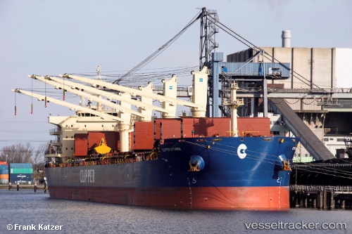
Clipper Kythira
Current StatusWhere is the vessel?
Clipper Kythira is currently in 227 nm N of Primorsky Krai, based on AIS data received about 2h ago.
Latest AIS update:
Current position: 49.09512° N, 135.72211° W (227 nm N of Primorsky Krai)
Average speed (last 7 days): Loading…
Average speed (last 30 days): Loading…
Vessel profile: Clipper Kythira is a Bulk Carrier with dimensions 32m x 200m.
This page combines live AIS, route history, probable destination signals, nearby traffic, and port activity for practical vessel monitoring.
The current position of vessel Clipper Kythira is 49.09512 lat / -135.72211 lng. Updated: 2026-03-25 15:53:56 UTCDetails:
Live Vessel Clipper Kythira Analytics (details, animations, etc.)
Recent AIS points (UTC):
2026-03-25 10:06:07 UTC · 48.88736, -134.78981 · SOG 6.6 kn · COG 283°2026-03-25 11:39:50 UTC · 48.94378, -135.02602 · SOG 5.9 kn · COG 285°
2026-03-25 13:50:48 UTC · 49.00726, -135.35535 · SOG 7 kn · COG 288°
2026-03-25 15:53:56 UTC · 49.09512, -135.72211 · SOG 7.7 kn · COG 290°