 vesseltracker.com
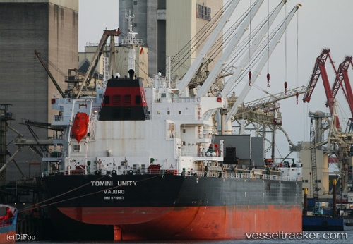
Tomini Unity
Current StatusWhere is the vessel?
Tomini Unity is currently in 306 nm N of Port Mathurin, based on AIS data received about 3h ago.
Latest AIS update:
Current position: 14.73406° S, 64.69215° E (306 nm N of Port Mathurin)
Average speed (last 7 days): Loading…
Average speed (last 30 days): Loading…
Vessel profile: Tomini Unity is a Bulk Carrier with dimensions 32m x 199m.
This page combines live AIS, route history, probable destination signals, nearby traffic, and port activity for practical vessel monitoring.
The current position of vessel Tomini Unity is -14.73406 lat / 64.69215 lng. Updated: 2026-04-09 22:40:07 UTCNearest reference points:
- 353 nm NE of Port Mathurin
- Open sea, approx. 401 nm off the nearest listed port
- Open sea, approx. 405 nm off the nearest listed port
Details:
Live Vessel Tomini Unity Analytics (details, animations, etc.)
Recent AIS points (UTC):
2026-04-09 17:53:21 UTC · -14.27167, 65.37833 · SOG 10 kn · COG -1°2026-04-09 20:04:50 UTC · -14.48341, 65.06358 · SOG 10.3 kn · COG 238°
2026-04-09 21:28:46 UTC · -14.61889, 64.86022 · SOG 10.1 kn · COG 238°
2026-04-09 22:40:07 UTC · -14.73406, 64.69215 · SOG 10.3 kn · COG 236°