 vesseltracker.com
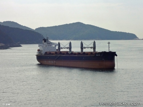
Kapta Mathios
Current StatusWhere is the vessel?
Kapta Mathios is currently in Near Zhenjiang, based on AIS data received about 1h ago.
Latest AIS update:
Current position: 32.27040° N, 119.48584° E (Near Zhenjiang)
Average speed (last 7 days): Loading…
Average speed (last 30 days): Loading…
Vessel profile: Kapta Mathios is a Bulk Carrier with dimensions 32m x 190m.
This page combines live AIS, route history, probable destination signals, nearby traffic, and port activity for practical vessel monitoring.
The current position of vessel Kapta Mathios is 32.27040 lat / 119.48584 lng. Updated: 2026-04-08 09:31:01 UTCNearest reference points:
- Near Zhenjiang
- Near Yangzhou Pt
- Near Zhenjiang Pt
Details:
Live Vessel Kapta Mathios Analytics (details, animations, etc.)
Recent AIS points (UTC):
2026-04-08 04:09:52 UTC · 31.98917, 119.99447 · SOG 9.1 kn · COG 315°2026-04-08 06:14:00 UTC · 32.27333, 119.85833 · SOG 9 kn · COG -1°
2026-04-08 08:08:34 UTC · 32.19763, 119.63401 · SOG 8.9 kn · COG 249°
2026-04-08 09:31:01 UTC · 32.27040, 119.48584 · SOG 7.2 kn · COG 280°