 vesseltracker.com
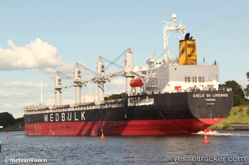
 SUPER EMMA
Current Status
Where is the vessel?
SUPER EMMA is currently in 11 nm SW of Malacca, based on AIS data received less than 1h ago.
Latest AIS update:
Current position: 2.03143° N, 102.10667° E (11 nm SW of Malacca)
Average speed (last 7 days): Loading…
Average speed (last 30 days): Loading…
Vessel profile: SUPER EMMA is a General Cargo Ship with dimensions m x m.
This page combines live AIS, route history, probable destination signals, nearby traffic, and port activity for practical vessel monitoring.
The current position of vessel SUPER EMMA is 2.03143 lat / 102.10667 lng. Updated: 2026-04-19 02:20:15 UTCNearest reference points:
- Near Malacca
- Near SUNGAI UDANG
- Near MELAKA
Currently sailing under the flag of Marshall Islands ![]()
SUPER EMMA built in 2008 year
Deadweight:
37277 tDetails:
Live Vessel SUPER EMMA Analytics (details, animations, etc.)
Recent AIS points (UTC):
2026-04-18 20:10:46 UTC · 2.79487, 100.99023 · SOG 12.2 kn · COG 113°2026-04-18 22:18:55 UTC · 2.59548, 101.39328 · SOG 13.2 kn · COG 116°
2026-04-18 23:55:24 UTC · 2.37210, 101.67070 · SOG 13.9 kn · COG 124°
2026-04-19 02:20:15 UTC · 2.03143, 102.10667 · SOG 13.4 kn · COG 133°