 vesseltracker.com
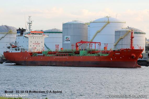
Venlo
Current StatusWhere is the vessel?
Venlo is currently in 26 nm NW of ALDERNEY, based on AIS data received about 1h ago.
Latest AIS update:
Current position: 50.07587° N, 2.60342° W (26 nm NW of ALDERNEY)
Average speed (last 7 days): Loading…
Average speed (last 30 days): Loading…
Vessel profile: Venlo is a Chemical Oil Products Tanker with dimensions 20m x 128m.
This page combines live AIS, route history, probable destination signals, nearby traffic, and port activity for practical vessel monitoring.
The current position of vessel Venlo is 50.07587 lat / -2.60342 lng. Updated: 2026-04-18 05:50:03 UTCNearest reference points:
- 23 nm NW of Saint Sampson
- Near Castletown
- Near ALDERNEY
Details:
Live Vessel Venlo Analytics (details, animations, etc.)
Recent AIS points (UTC):
2026-04-17 23:22:25 UTC · 50.44705, -0.48561 · SOG 11.3 kn · COG 255°2026-04-18 01:21:47 UTC · 50.33407, -1.13589 · SOG 14.8 kn · COG 251°
2026-04-18 03:28:04 UTC · 50.19698, -1.91801 · SOG 14 kn · COG 249°
2026-04-18 05:50:03 UTC · 50.07587, -2.60342 · SOG 9.5 kn · COG 253°