 vesseltracker.com
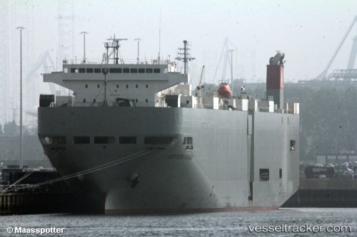
Eastern Highway
Current StatusWhere is the vessel?
Eastern Highway is currently in 369 nm NW of Stybarrow Venture MV17, based on AIS data received about 2h ago.
Latest AIS update:
Current position: 17.69729° S, 108.64281° E (369 nm NW of Stybarrow Venture MV17)
Average speed (last 7 days): Loading…
Average speed (last 30 days): Loading…
Vessel profile: Eastern Highway is a Vehicles Carrier with dimensions 28m x 188m.
This page combines live AIS, route history, probable destination signals, nearby traffic, and port activity for practical vessel monitoring.
The current position of vessel Eastern Highway is -17.69729 lat / 108.64281 lng. Updated: 2026-04-13 15:29:05 UTCNearest reference points:
- Open sea, approx. 404 nm off the nearest listed port
- Open sea, approx. 403 nm off the nearest listed port
- Open sea, approx. 411 nm off the nearest listed port
Details:
Live Vessel Eastern Highway Analytics (details, animations, etc.)
Recent AIS points (UTC):
2026-04-13 09:59:00 UTC · -19.10062, 109.13217 · SOG 15.4 kn · COG 344°2026-04-13 11:49:26 UTC · -18.63584, 108.97321 · SOG 16.4 kn · COG 340°
2026-04-13 13:34:13 UTC · -18.18995, 108.81083 · SOG 16.1 kn · COG 343°
2026-04-13 15:29:05 UTC · -17.69729, 108.64281 · SOG 16.1 kn · COG 342°