 vesseltracker.com
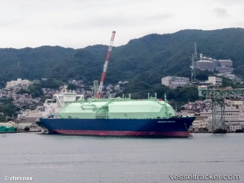
Oceanic Breeze
Current StatusWhere is the vessel?
Oceanic Breeze is currently in 52 nm SE of Prelude, based on AIS data received about 1h ago.
Latest AIS update:
Current position: 14.44734° S, 123.87948° E (52 nm SE of Prelude)
Average speed (last 7 days): Loading…
Average speed (last 30 days): Loading…
Vessel profile: Oceanic Breeze is a Lng Tanker with dimensions 49m x 288m.
This page combines live AIS, route history, probable destination signals, nearby traffic, and port activity for practical vessel monitoring.
The current position of vessel Oceanic Breeze is -14.44734 lat / 123.87948 lng. Updated: 2026-04-19 20:58:47 UTCNearest reference points:
- Near Prelude
- 23 nm E of Yampi Sound
- 65 nm E of Front Puffin FPSO
Details:
Live Vessel Oceanic Breeze Analytics (details, animations, etc.)
Recent AIS points (UTC):
2026-04-19 17:37:47 UTC · -14.44801, 123.87924 · SOG 0 kn · COG 107°2026-04-19 17:37:47 UTC · -14.44801, 123.87924 · SOG 0 kn · COG 107°
2026-04-19 17:37:47 UTC · -14.44801, 123.87924 · SOG 0 kn · COG 107°
2026-04-19 20:58:47 UTC · -14.44734, 123.87948 · SOG 0 kn · COG 118°