 vesseltracker.com
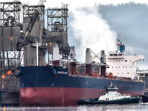
 Marylaki
Current Status
Where is the vessel?
Marylaki is currently in Near OWENDO, based on AIS data received about 15h ago.
Latest AIS update:
Current position: 0.28392° N, 9.49339° E (Near OWENDO)
Average speed (last 7 days): Loading…
Average speed (last 30 days): Loading…
Vessel profile: Marylaki is a Bulk Carrier with dimensions 190m x 190m.
This page combines live AIS, route history, probable destination signals, nearby traffic, and port activity for practical vessel monitoring.
The current position of vessel Marylaki is 0.28392 lat / 9.49339 lng. Updated: 2026-04-10 07:22:40 UTCNearest reference points:
- Near Cape Lopez
- Near Port Gentil
Currently sailing under the flag of Marshall Is ![]()
Marylaki built in 2010 year
Deadweight:
58114 tDetails:
Live Vessel Marylaki Analytics (details, animations, etc.)
Recent AIS points (UTC):
2026-04-10 02:25:36 UTC · 0.28391, 9.49339 · SOG 0 kn · COG 292°2026-04-10 03:49:38 UTC · 0.28391, 9.49338 · SOG 0 kn · COG 292°
2026-04-10 05:58:39 UTC · 0.28391, 9.49339 · SOG 0 kn · COG 291°
2026-04-10 07:22:40 UTC · 0.28392, 9.49339 · SOG 0 kn · COG 291°