 vesseltracker.com
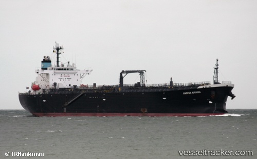
Atalanta T
Current StatusWhere is the vessel?
Atalanta T is currently in Near Pasadena, based on AIS data received about 1h ago.
Latest AIS update:
Current position: 29.74667° N, 95.17333° W (Near Pasadena)
Average speed (last 7 days): Loading…
Average speed (last 30 days): Loading…
Vessel profile: Atalanta T is a Oil Products Tanker with dimensions 32m x 180m.
This page combines live AIS, route history, probable destination signals, nearby traffic, and port activity for practical vessel monitoring.
The current position of vessel Atalanta T is 29.74667 lat / -95.17333 lng. Updated: 2026-04-13 09:34:25 UTCNearest reference points:
- Near Pasadena
- Near Jacinto City
- Near Morgan Point
Details:
Live Vessel Atalanta T Analytics (details, animations, etc.)
Recent AIS points (UTC):
2026-04-13 03:37:42 UTC · 29.74615, -95.10276 · SOG 5.5 kn · COG 215°2026-04-13 05:22:24 UTC · 29.74667, -95.17333 · SOG 0 kn · COG -1°
2026-04-13 07:39:21 UTC · 29.74776, -95.17362 · SOG 0 kn · COG 58°
2026-04-13 09:34:25 UTC · 29.74667, -95.17333 · SOG 0 kn · COG -1°