 vesseltracker.com
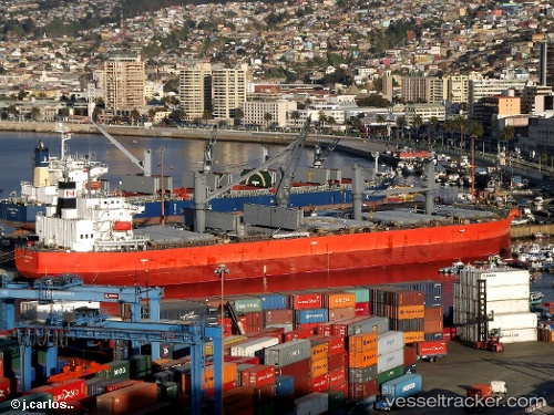
 TREMOLA
Current Status
Where is the vessel?
TREMOLA is currently in Open sea (no nearby ports in database), based on AIS data received about 1h ago.
Latest AIS update:
Current position: 14.79160° S, 26.12378° W (Open sea (no nearby ports in database))
Average speed (last 7 days): Loading…
Average speed (last 30 days): Loading…
Vessel profile: TREMOLA is a Bulk Carrier with dimensions 32m x 183m.
This page combines live AIS, route history, probable destination signals, nearby traffic, and port activity for practical vessel monitoring.
The current position of vessel TREMOLA is -14.79160 lat / -26.12378 lng. Updated: 2026-04-19 19:57:09 UTCNearest reference points:
- Open sea (no nearby ports in database)
Currently sailing under the flag of Marshall Islands ![]()
TREMOLA built in 2011 year
Deadweight:
50633 tDetails:
Live Vessel TREMOLA Analytics (details, animations, etc.)
Recent AIS points (UTC):
2026-04-19 16:49:10 UTC · -15.05045, -26.59027 · SOG 9.7 kn · COG 63°2026-04-19 17:19:01 UTC · -15.01135, -26.51643 · SOG 9.7 kn · COG 62°
2026-04-19 19:23:08 UTC · -14.83945, -26.20826 · SOG 9.8 kn · COG 60°
2026-04-19 19:57:09 UTC · -14.79160, -26.12378 · SOG 9.9 kn · COG 63°