 vesseltracker.com
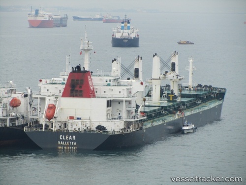
 GISCOURS
Current Status
Where is the vessel?
GISCOURS is currently in 13 nm N of Pasaleng, Luzon, based on AIS data received about 3d ago.
Latest AIS update:
Current position: 18.75573° N, 121.00085° E (13 nm N of Pasaleng, Luzon)
Average speed (last 7 days): Loading…
Average speed (last 30 days): Loading…
Vessel profile: GISCOURS is a Bulk Carrier with dimensions 190m x 32m.
This page combines live AIS, route history, probable destination signals, nearby traffic, and port activity for practical vessel monitoring.
The current position of vessel GISCOURS is 18.75573 lat / 121.00085 lng. Updated: 2026-04-02 07:20:18 UTCNearest reference points:
- 22 nm W of Salomague
- 66 nm W of Basco
- 55 nm SE of Port Irene
Currently sailing under the flag of Marshall Islands ![]()
GISCOURS built in 2009 year
Deadweight:
53208 tDetails:
Live Vessel GISCOURS Analytics (details, animations, etc.)
Recent AIS points (UTC):
2026-04-02 06:09:03 UTC · 18.69948, 120.87335 · SOG 10.9 kn · COG -1°2026-04-02 07:20:18 UTC · 18.75573, 121.00085 · SOG 11.8 kn · COG -1°
2026-04-02 07:20:18 UTC · 18.75573, 121.00085 · SOG 11.8 kn · COG -1°
2026-04-02 07:20:18 UTC · 18.75573, 121.00085 · SOG 11.8 kn · COG -1°