 vesseltracker.com
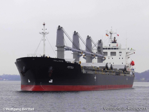
 PETRA
PETRA
Current Status
Where is the vessel?
PETRA is currently in 46 nm S of TOPOLOBAMPO, based on AIS data received less than 1h ago.
Latest AIS update:
Current position: 24.84811° N, 108.88366° W (46 nm S of TOPOLOBAMPO)
Average speed (last 7 days): Loading…
Average speed (last 30 days): Loading…
Vessel profile: PETRA is a General Cargo Ship with dimensions 29m x 180m.
This page combines live AIS, route history, probable destination signals, nearby traffic, and port activity for practical vessel monitoring.
The current position of vessel PETRA is 24.84811 lat / -108.88366 lng. Updated: 2026-04-17 12:17:17 UTCNearest reference points:
- Near LA PAZ
- Near LA PLAYA
- Near San Jose del Cabo
Currently sailing under the flag of Marshall Islands ![]()
PETRA built in 2011 year
Deadweight:
33688 tDetails:
Live Vessel PETRA Analytics (details, animations, etc.)
Recent AIS points (UTC):
2026-04-17 06:03:45 UTC · 23.76935, -108.22029 · SOG 12.7 kn · COG 330°2026-04-17 07:54:16 UTC · 24.10779, -108.42302 · SOG 12.3 kn · COG 328°
2026-04-17 10:15:09 UTC · 24.51349, -108.67835 · SOG 11.6 kn · COG 327°
2026-04-17 12:17:17 UTC · 24.84811, -108.88366 · SOG 11.2 kn · COG 328°