 vesseltracker.com
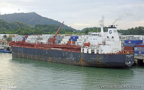
 AQUARIUS T
Current Status
Where is the vessel?
AQUARIUS T is currently in 255 nm NW of Aquiraz, based on AIS data received about 1h ago.
Latest AIS update:
Current position: 0.12500° S, 30.33500° W (255 nm NW of Aquiraz)
Average speed (last 7 days): Loading…
Average speed (last 30 days): Loading…
Vessel profile: AQUARIUS T is a Chemical/Oil Products Tanker with dimensions 32m x 183m.
This page combines live AIS, route history, probable destination signals, nearby traffic, and port activity for practical vessel monitoring.
The current position of vessel AQUARIUS T is -0.12500 lat / -30.33500 lng. Updated: 2026-03-31 01:23:07 UTCCurrently sailing under the flag of Marshall Islands ![]()
AQUARIUS T built in 2010 year
Deadweight:
46147 tDetails:
Live Vessel AQUARIUS T Analytics (details, animations, etc.)
Recent AIS points (UTC):
2026-03-30 19:59:07 UTC · 1.07500, -29.81833 · SOG 14 kn · COG -1°2026-03-30 21:33:43 UTC · 0.72596, -29.96514 · SOG 14.2 kn · COG 207°
2026-03-31 00:17:07 UTC · 0.12333, -30.22667 · SOG 14 kn · COG -1°
2026-03-31 01:23:07 UTC · -0.12500, -30.33500 · SOG 14 kn · COG -1°