 vesseltracker.com
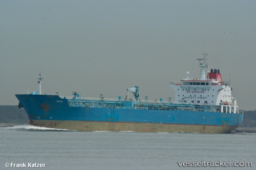
 STARLIGHT I
Current Status
Where is the vessel?
STARLIGHT I is currently in 46 nm SW of Chebogue Point, based on AIS data received about 20h ago.
Latest AIS update:
Current position: 43.29167° N, 66.96000° W (46 nm SW of Chebogue Point)
Average speed (last 7 days): Loading…
Average speed (last 30 days): Loading…
Vessel profile: STARLIGHT I is a Oil/Chemical Tanker with dimensions m x m.
This page combines live AIS, route history, probable destination signals, nearby traffic, and port activity for practical vessel monitoring.
The current position of vessel STARLIGHT I is 43.29167 lat / -66.96000 lng. Updated: 2026-04-10 07:26:21 UTCNearest reference points:
- Near Wedgeport
- 16 nm W of Tiverton
- Near Lower Woods Harbour
Currently sailing under the flag of Marshall Islands ![]()
Details:
Live Vessel STARLIGHT I Analytics (details, animations, etc.)
Recent AIS points (UTC):
2026-04-10 01:26:08 UTC · 44.40830, -66.60604 · SOG 14.1 kn · COG 235°2026-04-10 03:54:03 UTC · 44.00144, -66.97406 · SOG 12.3 kn · COG 180°
2026-04-10 05:24:23 UTC · 43.69718, -66.97094 · SOG 11.9 kn · COG -1°
2026-04-10 07:26:21 UTC · 43.29167, -66.96000 · SOG 12 kn · COG -1°