 vesseltracker.com
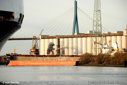
 MAGIC RAINBOW
Current Status
Where is the vessel?
MAGIC RAINBOW is currently in 133 nm SW of Bubaque, based on AIS data received about 116d ago.
Latest AIS update:
Current position: 10.36790° N, 17.89359° W (133 nm SW of Bubaque)
Average speed (last 7 days): Loading…
Average speed (last 30 days): Loading…
Vessel profile: MAGIC RAINBOW is a Bulk Carrier with dimensions 32m x 225m.
This page combines live AIS, route history, probable destination signals, nearby traffic, and port activity for practical vessel monitoring.
The current position of vessel MAGIC RAINBOW is 10.36790 lat / -17.89359 lng. Updated: 2025-11-30 20:41:51 UTCNearest reference points:
- 144 nm SW of Bubaque
- 48 nm W of Cap Skiring
- 97 nm SW of Port de Boké
Currently sailing under the flag of Marshall Islands ![]()
MAGIC RAINBOW built in 2007 year
Deadweight:
73593 tDetails:
Live Vessel MAGIC RAINBOW Analytics (details, animations, etc.)
Recent AIS points (UTC):
2025-11-30 20:41:51 UTC · 10.36790, -17.89359 · SOG 0.9 kn · COG 145°