 vesseltracker.com
 PELAGIA
Current Status
Where is the vessel?
PELAGIA is currently in Near Sekupang, based on AIS data received about 2d ago.
Latest AIS update:
Current position: 1.16020° N, 103.94882° E (Near Sekupang)
Average speed (last 7 days): Loading…
Average speed (last 30 days): Loading…
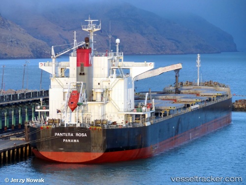
Vessel profile: PELAGIA is a Bulk Carrier with dimensions 225m x 32m.
This page combines live AIS, route history, probable destination signals, nearby traffic, and port activity for practical vessel monitoring.
The current position of vessel PELAGIA is 1.16020 lat / 103.94882 lng. Updated: 2026-04-10 08:07:56 UTCNearest reference points:
- Near BATU AMPAR
- Near Sambu
- Near Sekupang
Currently sailing under the flag of Marshall Islands ![]()
PELAGIA built in 2009 year
Deadweight:
78844 tDetails:
Live Vessel PELAGIA Analytics (details, animations, etc.)
Recent AIS points (UTC):
2026-04-10 01:39:05 UTC · 1.27242, 103.92859 · SOG 4.5 kn · COG 172°2026-04-10 04:14:55 UTC · 1.16331, 103.94968 · SOG 0.3 kn · COG 176°
2026-04-10 05:55:18 UTC · 1.15955, 103.94936 · SOG 0 kn · COG 15°
2026-04-10 08:07:56 UTC · 1.16020, 103.94882 · SOG 0 kn · COG 33°