 vesseltracker.com
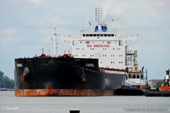
 MAGIC STARLIGHT
Current Status
Where is the vessel?
MAGIC STARLIGHT is currently in 51 nm W of Gageohyangri, based on AIS data received about 6h ago.
Latest AIS update:
Current position: 34.22865° N, 124.08514° E (51 nm W of Gageohyangri)
Average speed (last 7 days): Loading…
Average speed (last 30 days): Loading…
Vessel profile: MAGIC STARLIGHT is a Bulk Carrier with dimensions 229m x 32m.
This page combines live AIS, route history, probable destination signals, nearby traffic, and port activity for practical vessel monitoring.
The current position of vessel MAGIC STARLIGHT is 34.22865 lat / 124.08514 lng. Updated: 2026-04-05 14:51:48 UTCNearest reference points:
- 77 nm W of Hongdo
- 82 nm W of Gageohyangri
- 91 nm W of Gageohyangri
Currently sailing under the flag of Marshall Islands ![]()
MAGIC STARLIGHT built in 2015 year
Deadweight:
81048 tDetails:
Live Vessel MAGIC STARLIGHT Analytics (details, animations, etc.)
Recent AIS points (UTC):
2026-04-04 10:22:23 UTC · 34.22334, 124.08803 · SOG 0 kn · COG 349°2026-04-05 14:51:48 UTC · 34.22865, 124.08514 · SOG 0 kn · COG 149°
2026-04-05 14:51:48 UTC · 34.22865, 124.08514 · SOG 0 kn · COG 149°
2026-04-05 14:51:48 UTC · 34.22865, 124.08514 · SOG 0 kn · COG 149°