 vesseltracker.com
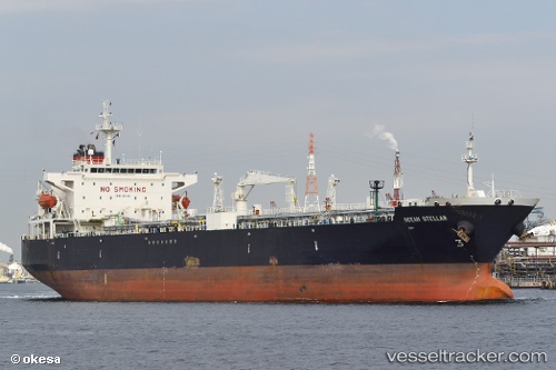
 NEUTRON RAY
Current Status
Where is the vessel?
NEUTRON RAY is currently in Near Cai Mep International Terminal, based on AIS data received about 30d ago.
Latest AIS update:
Current position: 10.52118° N, 106.94584° E (Near Cai Mep International Terminal)
Average speed (last 7 days): Loading…
Average speed (last 30 days): Loading…
Vessel profile: NEUTRON RAY is a Crude Oil Tanker with dimensions 32m x 189m.
This page combines live AIS, route history, probable destination signals, nearby traffic, and port activity for practical vessel monitoring.
The current position of vessel NEUTRON RAY is 10.52118 lat / 106.94584 lng. Updated: 2026-03-16 06:08:07 UTCNearest reference points:
- Near Cai Mep International Terminal
- Near Saigon ITV/Phu My
- Near Cape Saint Jacques
Currently sailing under the flag of Marshall Islands ![]()
NEUTRON RAY built in 2005 year
Deadweight:
50386 tDetails:
Live Vessel NEUTRON RAY Analytics (details, animations, etc.)
Recent AIS points (UTC):
2026-03-16 06:08:07 UTC · 10.52118, 106.94584 · SOG 9.4 kn · COG 302°