 vesseltracker.com
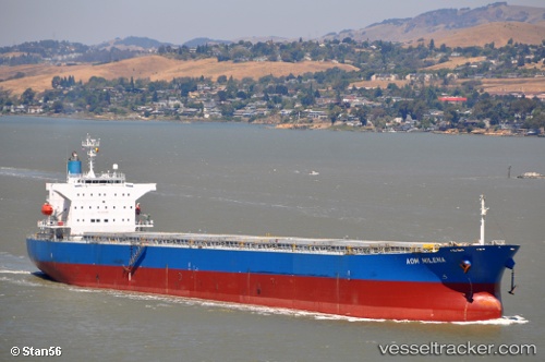
 ATMOSPHERE
Current Status
Where is the vessel?
ATMOSPHERE is currently in Near Iskenderun, based on AIS data received about 8h ago.
Latest AIS update:
Current position: 36.61185° N, 36.16165° E (Near Iskenderun)
Average speed (last 7 days): Loading…
Average speed (last 30 days): Loading…
Vessel profile: ATMOSPHERE is a Bulk Carrier with dimensions 32m x 218m.
This page combines live AIS, route history, probable destination signals, nearby traffic, and port activity for practical vessel monitoring.
The current position of vessel ATMOSPHERE is 36.61185 lat / 36.16165 lng. Updated: 2026-04-10 07:40:55 UTCNearest reference points:
- Near Iskenderun
- Near DORTYOL
- 13 nm W of Iskenderun
Currently sailing under the flag of Marshall Islands ![]()
ATMOSPHERE built in 2009 year
Deadweight:
76606 tDetails:
Live Vessel ATMOSPHERE Analytics (details, animations, etc.)
Recent AIS points (UTC):
2026-04-10 02:16:54 UTC · 36.61228, 36.16137 · SOG 0.1 kn · COG 254°2026-04-10 04:01:53 UTC · 36.61322, 36.16007 · SOG 0 kn · COG 209°
2026-04-10 05:35:37 UTC · 36.61282, 36.16098 · SOG 0.2 kn · COG 232°
2026-04-10 07:40:55 UTC · 36.61185, 36.16165 · SOG 0.1 kn · COG 264°