 vesseltracker.com
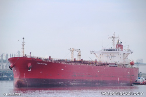
 RIDGEBURY BIRCH
Current Status
Where is the vessel?
RIDGEBURY BIRCH is currently in Near Veracruz, based on AIS data received about 5d ago.
Latest AIS update:
Current position: 19.22530° N, 96.16723° W (Near Veracruz)
Average speed (last 7 days): Loading…
Average speed (last 30 days): Loading…
Vessel profile: RIDGEBURY BIRCH is a Oil Products Tanker with dimensions 185m x 185m.
This page combines live AIS, route history, probable destination signals, nearby traffic, and port activity for practical vessel monitoring.
The current position of vessel RIDGEBURY BIRCH is 19.22530 lat / -96.16723 lng. Updated: 2026-04-03 14:15:14 UTCNearest reference points:
- Near Veracruz
- 25 nm E of Tuxpan
- Near Coatzacoalcos
Currently sailing under the flag of Marshall Islands ![]()
RIDGEBURY BIRCH built in 2006 year
Deadweight:
53712 tDetails:
Live Vessel RIDGEBURY BIRCH Analytics (details, animations, etc.)
Recent AIS points (UTC):
2026-03-29 13:35:52 UTC · 29.76634, 122.06803 · SOG 0 kn · COG 113°2026-03-29 13:35:52 UTC · 29.76634, 122.06803 · SOG 0 kn · COG 113°
2026-03-29 13:35:52 UTC · 29.76634, 122.06803 · SOG 0 kn · COG 113°
2026-04-03 14:15:14 UTC · 19.22530, -96.16723 · SOG 0 kn · COG 349°
2026-04-03 14:15:14 UTC · 19.22530, -96.16723 · SOG 0 kn · COG 349°
2026-04-03 14:15:14 UTC · 19.22530, -96.16723 · SOG 0 kn · COG 349°