 vesseltracker.com
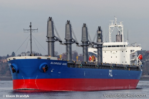
 SUNNY SANDRA
Current Status
Where is the vessel?
SUNNY SANDRA is currently in 119 nm NW of Herschel Island, based on AIS data received about 91d ago.
Latest AIS update:
Current position: 71.11832° N, 142.73474° W (119 nm NW of Herschel Island)
Average speed (last 7 days): Loading…
Average speed (last 30 days): Loading…
Vessel profile: SUNNY SANDRA is a General Cargo Ship with dimensions 178m x 178m.
This page combines live AIS, route history, probable destination signals, nearby traffic, and port activity for practical vessel monitoring.
The current position of vessel SUNNY SANDRA is 71.11832 lat / -142.73474 lng. Updated: 2026-01-09 23:47:30 UTCCurrently sailing under the flag of Marshall Islands ![]()
SUNNY SANDRA built in 2012 year
Deadweight:
37154 tDetails:
Live Vessel SUNNY SANDRA Analytics (details, animations, etc.)
Recent AIS points (UTC):
2026-01-09 23:47:30 UTC · 71.11832, -142.73474 · SOG 0.3 kn · COG 350°