 vesseltracker.com
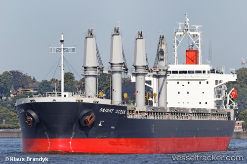
 LA LOUISE
Current Status
Where is the vessel?
LA LOUISE is currently in Near BUKOM ISLAND, based on AIS data received about 65d ago.
Latest AIS update:
Current position: 1.15126° N, 103.75715° E (Near BUKOM ISLAND)
Average speed (last 7 days): Loading…
Average speed (last 30 days): Loading…
Vessel profile: LA LOUISE is a General Cargo Ship with dimensions 178m x 28m.
This page combines live AIS, route history, probable destination signals, nearby traffic, and port activity for practical vessel monitoring.
The current position of vessel LA LOUISE is 1.15126 lat / 103.75715 lng. Updated: 2026-02-14 07:29:03 UTCNearest reference points:
- Near BUKOM ISLAND
- Near JURONG ISLAND
- Near Pasir Panjang Wharves
Currently sailing under the flag of Marshall Islands ![]()
LA LOUISE built in 2012 year
Deadweight:
37207 tDetails:
Live Vessel LA LOUISE Analytics (details, animations, etc.)
Recent AIS points (UTC):
2026-02-14 07:29:03 UTC · 1.15126, 103.75715 · SOG 9.2 kn · COG 242°