 vesseltracker.com
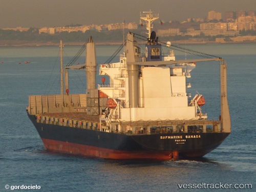
 CELSIUS NEW ORLEANS
Current Status
Where is the vessel?
CELSIUS NEW ORLEANS is currently in 38 nm SE of Los Ramos, based on AIS data received about 62d ago.
Latest AIS update:
Current position: 37.50069° N, 9.84372° W (38 nm SE of Los Ramos)
Average speed (last 7 days): Loading…
Average speed (last 30 days): Loading…
Vessel profile: CELSIUS NEW ORLEANS is a Container Ship with dimensions 28m x 172m.
This page combines live AIS, route history, probable destination signals, nearby traffic, and port activity for practical vessel monitoring.
The current position of vessel CELSIUS NEW ORLEANS is 37.50069 lat / -9.84372 lng. Updated: 2026-02-16 16:58:18 UTCNearest reference points:
- 54 nm W of Sagres
- 31 nm SW of Sagres
- Near Sesimbra
Currently sailing under the flag of Marshall Islands ![]()
CELSIUS NEW ORLEANS built in 2007 year
Deadweight:
21436 tDetails:
Live Vessel CELSIUS NEW ORLEANS Analytics (details, animations, etc.)
Recent AIS points (UTC):
2026-02-16 16:58:18 UTC · 37.50069, -9.84372 · SOG 13.7 kn · COG 167°