 vesseltracker.com
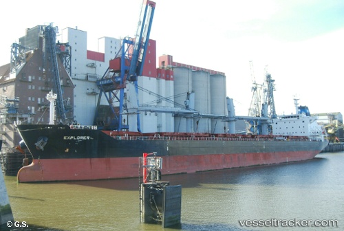
 MAREM
MAREM
Current Status
Where is the vessel?
MAREM is currently in Near Polyarnyy, based on AIS data received about 1d ago.
Latest AIS update:
Current position: 69.11966° N, 33.49601° E (Near Polyarnyy)
Average speed (last 7 days): Loading…
Average speed (last 30 days): Loading…
Vessel profile: MAREM is a Bulk Carrier with dimensions 30m x 180m.
This page combines live AIS, route history, probable destination signals, nearby traffic, and port activity for practical vessel monitoring.
The current position of vessel MAREM is 69.11966 lat / 33.49601 lng. Updated: 2026-04-07 11:02:15 UTCNearest reference points:
- Near Polyarnyy
- 12 nm N of Polyarnyy
- Near Murmansk
Currently sailing under the flag of Marshall Islands ![]()
MAREM built in 2012 year
Deadweight:
34148 tDetails:
Live Vessel MAREM Analytics (details, animations, etc.)
Recent AIS points (UTC):
2026-04-07 08:41:08 UTC · 69.37329, 33.64332 · SOG 10.6 kn · COG 226°2026-04-07 11:02:15 UTC · 69.11966, 33.49601 · SOG 15.8 kn · COG -1°
2026-04-07 11:02:15 UTC · 69.11966, 33.49601 · SOG 15.8 kn · COG -1°
2026-04-07 11:02:15 UTC · 69.11966, 33.49601 · SOG 15.8 kn · COG -1°