 vesseltracker.com
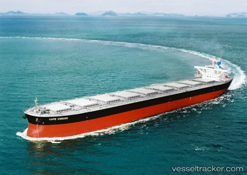
 PANDA
PANDA
Current Status
Where is the vessel?
PANDA is currently in 92 nm W of Al Qunfudah, based on AIS data received about 8h ago.
Latest AIS update:
Current position: 18.72305° N, 39.49284° E (92 nm W of Al Qunfudah)
Average speed (last 7 days): Loading…
Average speed (last 30 days): Loading…
Vessel profile: PANDA is a Bulk Carrier with dimensions 45m x 288m.
This page combines live AIS, route history, probable destination signals, nearby traffic, and port activity for practical vessel monitoring.
The current position of vessel PANDA is 18.72305 lat / 39.49284 lng. Updated: 2026-04-16 15:39:57 UTCNearest reference points:
- 99 nm SW of Al Qunfudah
- 53 nm SW of SHUAIBAH
- 92 nm SW of Al Qahmah
Currently sailing under the flag of Marshall Islands ![]()
PANDA built in 2004 year
Deadweight:
180181 tDetails:
Live Vessel PANDA Analytics (details, animations, etc.)
Recent AIS points (UTC):
2026-04-16 11:22:19 UTC · 19.39651, 39.08457 · SOG 11.1 kn · COG 137°2026-04-16 13:41:31 UTC · 19.02915, 39.27067 · SOG 11.3 kn · COG 143°
2026-04-16 15:26:16 UTC · 18.75953, 39.46953 · SOG 9.6 kn · COG 157°
2026-04-16 15:39:57 UTC · 18.72305, 39.49284 · SOG 11 kn · COG 156°