 vesseltracker.com
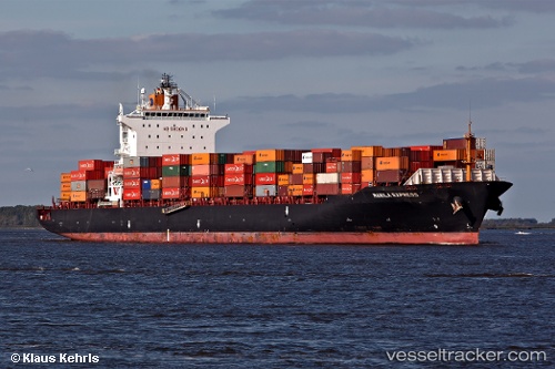
 RENA P
Current Status
Where is the vessel?
RENA P is currently in Near Apapa, based on AIS data received about 1h ago.
Latest AIS update:
Current position: 6.30307° N, 3.45566° E (Near Apapa)
Average speed (last 7 days): Loading…
Average speed (last 30 days): Loading…
Vessel profile: RENA P is a Container Ship with dimensions 260m x 32m.
This page combines live AIS, route history, probable destination signals, nearby traffic, and port activity for practical vessel monitoring.
The current position of vessel RENA P is 6.30307 lat / 3.45566 lng. Updated: 2026-04-18 17:34:53 UTCNearest reference points:
- Near Apapa
- Near Lagos
- Near Kirikiri
Currently sailing under the flag of Marshall Islands ![]()
RENA P built in 2007 year
Deadweight:
50764 tDetails:
Live Vessel RENA P Analytics (details, animations, etc.)
Recent AIS points (UTC):
2026-04-18 12:19:33 UTC · 6.30613, 3.47607 · SOG 0.7 kn · COG 339°2026-04-18 14:03:34 UTC · 6.29174, 3.44868 · SOG 0.7 kn · COG 245°
2026-04-18 16:23:24 UTC · 6.29959, 3.44335 · SOG 0.7 kn · COG 286°
2026-04-18 17:34:53 UTC · 6.30307, 3.45566 · SOG 0.4 kn · COG 294°