 vesseltracker.com
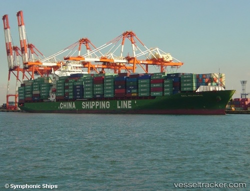
 EMMANUEL P
Current Status
Where is the vessel?
EMMANUEL P is currently in 28 nm NE of Krueng Geukueh, based on AIS data received about 1h ago.
Latest AIS update:
Current position: 5.64760° N, 97.28428° E (28 nm NE of Krueng Geukueh)
Average speed (last 7 days): Loading…
Average speed (last 30 days): Loading…
Vessel profile: EMMANUEL P is a Container Ship with dimensions 260m x 32m.
This page combines live AIS, route history, probable destination signals, nearby traffic, and port activity for practical vessel monitoring.
The current position of vessel EMMANUEL P is 5.64760 lat / 97.28428 lng. Updated: 2026-04-08 12:13:42 UTCNearest reference points:
- 45 nm NE of Krueng Geukueh
- 34 nm N of Langsa Venture FPSO
- 45 nm N of Langsa Venture FPSO
Currently sailing under the flag of Marshall Islands ![]()
EMMANUEL P built in 2005 year
Deadweight:
50796 tDetails:
Live Vessel EMMANUEL P Analytics (details, animations, etc.)
Recent AIS points (UTC):
2026-04-08 05:31:50 UTC · 4.77333, 98.81667 · SOG 15 kn · COG -1°2026-04-08 07:34:52 UTC · 5.13500, 98.41667 · SOG 16 kn · COG -1°
2026-04-08 09:43:02 UTC · 5.43349, 97.93374 · SOG 16.7 kn · COG 288°
2026-04-08 12:13:42 UTC · 5.64760, 97.28428 · SOG 16.2 kn · COG 286°