 vesseltracker.com
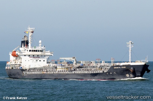
 THAI CHEMI
Current Status
Where is the vessel?
THAI CHEMI is currently in Near Map Ta Phut, based on AIS data received about 1h ago.
Latest AIS update:
Current position: 12.65704° N, 101.14262° E (Near Map Ta Phut)
Average speed (last 7 days): Loading…
Average speed (last 30 days): Loading…
Vessel profile: THAI CHEMI is a Chemical/Oil Products Tanker with dimensions 134m x 20m.
This page combines live AIS, route history, probable destination signals, nearby traffic, and port activity for practical vessel monitoring.
The current position of vessel THAI CHEMI is 12.65704 lat / 101.14262 lng. Updated: 2026-04-03 11:27:05 UTCNearest reference points:
- 11 nm S of Map Ta Phut
- Near SATTAHIP
- Near Tips Container Terminal
Currently sailing under the flag of Marshall Islands ![]()
THAI CHEMI built in 2006 year
Deadweight:
14351 tDetails:
Live Vessel THAI CHEMI Analytics (details, animations, etc.)
Recent AIS points (UTC):
2026-04-03 05:31:00 UTC · 12.59216, 101.17756 · SOG 9.3 kn · COG 312°2026-04-03 07:46:45 UTC · 12.65709, 101.14259 · SOG 0 kn · COG -1°
2026-04-03 09:31:54 UTC · 12.65706, 101.14260 · SOG 0 kn · COG -1°
2026-04-03 11:27:05 UTC · 12.65704, 101.14262 · SOG 0 kn · COG -1°