 vesseltracker.com
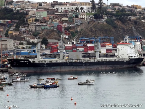
 DAFNI
DAFNI
Current Status
Where is the vessel?
DAFNI is currently in 35 nm S of Nudao, based on AIS data received less than 1h ago.
Latest AIS update:
Current position: 35.80726° N, 120.95879° E (35 nm S of Nudao)
Average speed (last 7 days): Loading…
Average speed (last 30 days): Loading…
Vessel profile: DAFNI is a General Cargo Ship with dimensions 183m x 28m.
This page combines live AIS, route history, probable destination signals, nearby traffic, and port activity for practical vessel monitoring.
The current position of vessel DAFNI is 35.80726 lat / 120.95879 lng. Updated: 2026-04-18 17:39:25 UTCNearest reference points:
- 36 nm SE of Qingdao
- 26 nm S of Nudao
- 43 nm SE of Qingdao
Currently sailing under the flag of Marshall Islands ![]()
DAFNI built in 2011 year
Deadweight:
34037 tDetails:
Live Vessel DAFNI Analytics (details, animations, etc.)
Recent AIS points (UTC):
2026-04-18 11:48:24 UTC · 35.80542, 120.96063 · SOG 0.1 kn · COG 279°2026-04-18 13:51:25 UTC · 35.80652, 120.96073 · SOG 0.2 kn · COG 230°
2026-04-18 16:06:50 UTC · 35.80674, 120.96077 · SOG 0.2 kn · COG 238°
2026-04-18 17:39:25 UTC · 35.80726, 120.95879 · SOG 0.2 kn · COG 175°