 vesseltracker.com
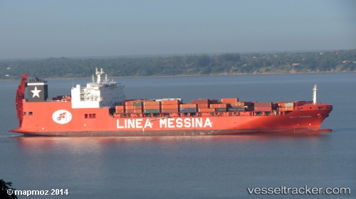
 LIBERTY POWER
Current Status
Where is the vessel?
LIBERTY POWER is currently in 189 nm W of Puerto Angamos, based on AIS data received about 99d ago.
Latest AIS update:
Current position: 22.41802° S, 73.79060° W (189 nm W of Puerto Angamos)
Average speed (last 7 days): Loading…
Average speed (last 30 days): Loading…
Vessel profile: LIBERTY POWER is a Ro-Ro Cargo Ship with dimensions 38m x 240m.
This page combines live AIS, route history, probable destination signals, nearby traffic, and port activity for practical vessel monitoring.
The current position of vessel LIBERTY POWER is -22.41802 lat / -73.79060 lng. Updated: 2026-01-09 08:13:57 UTCCurrently sailing under the flag of Marshall Islands ![]()
LIBERTY POWER built in 2011 year
Deadweight:
46635 tDetails:
Live Vessel LIBERTY POWER Analytics (details, animations, etc.)
Recent AIS points (UTC):
2026-01-09 08:13:57 UTC · -22.41802, -73.79060 · SOG 79.8 kn · COG -1°