 vesseltracker.com
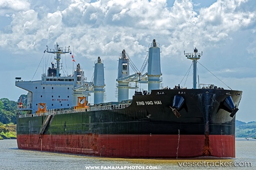
 PACIFIC LILY
Current Status
Where is the vessel?
PACIFIC LILY is currently in Near Buenaventura, based on AIS data received about 1h ago.
Latest AIS update:
Current position: 3.89410° N, 77.07030° W (Near Buenaventura)
Average speed (last 7 days): Loading…
Average speed (last 30 days): Loading…
Vessel profile: PACIFIC LILY is a Cargo with dimensions m x m.
This page combines live AIS, route history, probable destination signals, nearby traffic, and port activity for practical vessel monitoring.
The current position of vessel PACIFIC LILY is 3.89410 lat / -77.07030 lng. Updated: 2026-04-17 20:03:02 UTCNearest reference points:
- Near Buenaventura
- 33 nm W of Buenaventura
Currently sailing under the flag of Marshall Islands ![]()
Details:
Live Vessel PACIFIC LILY Analytics (details, animations, etc.)
Recent AIS points (UTC):
2026-04-17 14:01:44 UTC · 3.89413, -77.07033 · SOG 0.1 kn · COG 265°2026-04-17 15:22:44 UTC · 3.89411, -77.07031 · SOG 0.1 kn · COG 265°
2026-04-17 17:45:02 UTC · 3.89413, -77.07036 · SOG 0 kn · COG 265°
2026-04-17 20:03:02 UTC · 3.89410, -77.07030 · SOG 0 kn · COG 265°