 vesseltracker.com
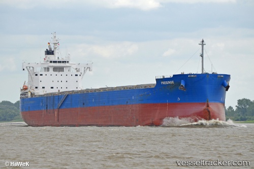
 PRESINGE
Current Status
Where is the vessel?
PRESINGE is currently in Near TABOGA, based on AIS data received less than 1h ago.
Latest AIS update:
Current position: 8.81375° N, 79.56725° W (Near TABOGA)
Average speed (last 7 days): Loading…
Average speed (last 30 days): Loading…
Vessel profile: PRESINGE is a Cargo with dimensions m x m.
This page combines live AIS, route history, probable destination signals, nearby traffic, and port activity for practical vessel monitoring.
The current position of vessel PRESINGE is 8.81375 lat / -79.56725 lng. Updated: 2026-04-20 01:34:57 UTCNearest reference points:
- Near Melones
- Near Panama
- Near El Chorrillo
Currently sailing under the flag of Marshall Islands ![]()
Details:
Live Vessel PRESINGE Analytics (details, animations, etc.)
Recent AIS points (UTC):
2026-04-19 22:39:54 UTC · 8.81411, -79.56788 · SOG 0.1 kn · COG 32°2026-04-20 00:00:37 UTC · 8.81405, -79.56766 · SOG 0.1 kn · COG 25°
2026-04-20 01:17:50 UTC · 8.81372, -79.56733 · SOG 0 kn · COG 21°
2026-04-20 01:34:57 UTC · 8.81375, -79.56725 · SOG 0 kn · COG 21°