 vesseltracker.com
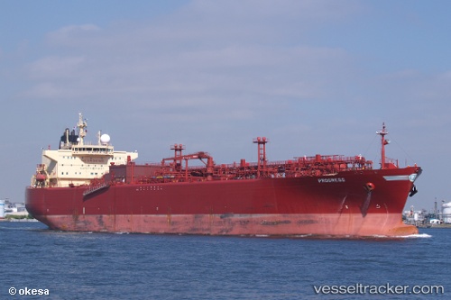
 VISHVAKARMAA
Current Status
Where is the vessel?
VISHVAKARMAA is currently in Near Pulau Indah, based on AIS data received less than 1h ago.
Latest AIS update:
Current position: 2.79224° N, 101.28259° E (Near Pulau Indah)
Average speed (last 7 days): Loading…
Average speed (last 30 days): Loading…
Vessel profile: VISHVAKARMAA is a Lpg Tanker with dimensions m x m.
This page combines live AIS, route history, probable destination signals, nearby traffic, and port activity for practical vessel monitoring.
The current position of vessel VISHVAKARMAA is 2.79224 lat / 101.28259 lng. Updated: 2026-04-18 07:50:29 UTCNearest reference points:
- Near Pulau Indah
- Near Carey Island Estate
- Near Banting
Currently sailing under the flag of Marshall Islands ![]()
Details:
Live Vessel VISHVAKARMAA Analytics (details, animations, etc.)
Recent AIS points (UTC):
2026-04-18 02:14:24 UTC · 2.79241, 101.28029 · SOG 0.1 kn · COG 127°2026-04-18 03:29:23 UTC · 2.79249, 101.28022 · SOG 0 kn · COG 139°
2026-04-18 06:11:27 UTC · 2.79199, 101.27971 · SOG 0 kn · COG 137°
2026-04-18 07:50:29 UTC · 2.79224, 101.28259 · SOG 0.5 kn · COG 218°