 vesseltracker.com
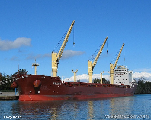
 CAPE
CAPE
Current Status
Where is the vessel?
CAPE is currently in 15 nm SW of Thoppumpady, based on AIS data received less than 1h ago.
Latest AIS update:
Current position: 9.82048° N, 76.02882° E (15 nm SW of Thoppumpady)
Average speed (last 7 days): Loading…
Average speed (last 30 days): Loading…
Vessel profile: CAPE is a Bulk Carrier with dimensions m x m.
This page combines live AIS, route history, probable destination signals, nearby traffic, and port activity for practical vessel monitoring.
The current position of vessel CAPE is 9.82048 lat / 76.02882 lng. Updated: 2026-04-20 10:18:19 UTCNearest reference points:
- Near Cochin
- Near Edappally
- 41 nm S of Nagercoil
Currently sailing under the flag of Marshall Islands ![]()
Details:
Live Vessel CAPE Analytics (details, animations, etc.)
Recent AIS points (UTC):
2026-04-20 06:54:20 UTC · 9.82091, 76.02833 · SOG 0.2 kn · COG 128°2026-04-20 07:48:21 UTC · 9.82070, 76.02841 · SOG 0 kn · COG 116°
2026-04-20 10:15:21 UTC · 9.82028, 76.02864 · SOG 0.2 kn · COG 52°
2026-04-20 10:18:19 UTC · 9.82048, 76.02882 · SOG 0.2 kn · COG 48°