 vesseltracker.com
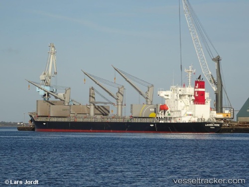
 AGIA MARINA
Current Status
Where is the vessel?
AGIA MARINA is currently in 55 nm E of Laguna, based on AIS data received less than 1h ago.
Latest AIS update:
Current position: 28.78160° S, 47.79953° W (55 nm E of Laguna)
Average speed (last 7 days): Loading…
Average speed (last 30 days): Loading…
Vessel profile: AGIA MARINA is a Cargo with dimensions m x m.
This page combines live AIS, route history, probable destination signals, nearby traffic, and port activity for practical vessel monitoring.
The current position of vessel AGIA MARINA is -28.78160 lat / -47.79953 lng. Updated: 2026-04-15 11:28:14 UTCNearest reference points:
- 15 nm SE of Imbituba
- 14 nm SE of Imbituba
- 138 nm E of Imbituba
Currently sailing under the flag of Marshall Islands ![]()
Details:
Live Vessel AGIA MARINA Analytics (details, animations, etc.)
Recent AIS points (UTC):
2026-04-15 06:27:21 UTC · -27.92273, -47.04742 · SOG 12.7 kn · COG 221°2026-04-15 07:50:33 UTC · -28.15018, -47.25961 · SOG 13.1 kn · COG 216°
2026-04-15 09:45:55 UTC · -28.48726, -47.54218 · SOG 12.9 kn · COG 216°
2026-04-15 11:28:14 UTC · -28.78160, -47.79953 · SOG 13.3 kn · COG 221°