 vesseltracker.com
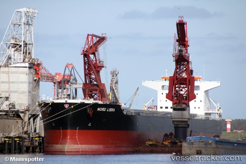
 VELOS LIBRA
Current Status
Where is the vessel?
VELOS LIBRA is currently in 11 nm NE of Viinistu Sadam, based on AIS data received about 2h ago.
Latest AIS update:
Current position: 59.81936° N, 25.90751° E (11 nm NE of Viinistu Sadam)
Average speed (last 7 days): Loading…
Average speed (last 30 days): Loading…
Vessel profile: VELOS LIBRA is a Cargo with dimensions m x m.
This page combines live AIS, route history, probable destination signals, nearby traffic, and port activity for practical vessel monitoring.
The current position of vessel VELOS LIBRA is 59.81936 lat / 25.90751 lng. Updated: 2026-04-13 10:00:22 UTCNearest reference points:
- 13 nm N of Viinistu Sadam
- Near Vessölandet
- Near Vuosaari (Nordsjö)
Currently sailing under the flag of Marshall Islands ![]()
Details:
Live Vessel VELOS LIBRA Analytics (details, animations, etc.)
Recent AIS points (UTC):
2026-04-13 03:21:22 UTC · 59.81789, 25.90920 · SOG 0 kn · COG 33°2026-04-13 06:21:25 UTC · 59.81847, 25.90815 · SOG 0.1 kn · COG 53°
2026-04-13 08:03:27 UTC · 59.81972, 25.90753 · SOG 0.1 kn · COG 89°
2026-04-13 10:00:22 UTC · 59.81936, 25.90751 · SOG 0.2 kn · COG 78°