 vesseltracker.com
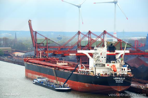
 TOMINI K2
Current Status
Where is the vessel?
TOMINI K2 is currently in 90 nm S of Kaohsiung, based on AIS data received about 4h ago.
Latest AIS update:
Current position: 21.05612° N, 120.44489° E (90 nm S of Kaohsiung)
Average speed (last 7 days): Loading…
Average speed (last 30 days): Loading…
Vessel profile: TOMINI K2 is a Cargo with dimensions m x m.
This page combines live AIS, route history, probable destination signals, nearby traffic, and port activity for practical vessel monitoring.
The current position of vessel TOMINI K2 is 21.05612 lat / 120.44489 lng. Updated: 2026-04-16 00:17:52 UTCNearest reference points:
- 106 nm W of Basco
- 101 nm S of Kaohsiung
- 66 nm W of Basco
Currently sailing under the flag of Marshall Islands ![]()
Details:
Live Vessel TOMINI K2 Analytics (details, animations, etc.)
Recent AIS points (UTC):
2026-04-15 17:32:19 UTC · 20.07333, 119.54667 · SOG 11 kn · COG -1°2026-04-15 17:32:19 UTC · 20.07333, 119.54667 · SOG 11 kn · COG -1°
2026-04-16 00:17:52 UTC · 21.05612, 120.44489 · SOG 10.8 kn · COG 39°
2026-04-16 00:17:52 UTC · 21.05612, 120.44489 · SOG 10.8 kn · COG 39°