 vesseltracker.com
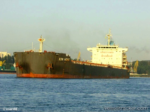
 ARGEUS
Current Status
Where is the vessel?
ARGEUS is currently in Near BUCEO, based on AIS data received less than 1h ago.
Latest AIS update:
Current position: 35.05788° S, 56.03887° W (Near BUCEO)
Average speed (last 7 days): Loading…
Average speed (last 30 days): Loading…
Vessel profile: ARGEUS is a Cargo with dimensions m x m.
This page combines live AIS, route history, probable destination signals, nearby traffic, and port activity for practical vessel monitoring.
The current position of vessel ARGEUS is -35.05788 lat / -56.03887 lng. Updated: 2026-04-21 05:06:28 UTCNearest reference points:
- 12 nm S of Piriápolis
- 16 nm N of Cabo San Antonio
- 21 nm E of PUNTA DEL ESTE
Currently sailing under the flag of Marshall Islands ![]()
Details:
Live Vessel ARGEUS Analytics (details, animations, etc.)
Recent AIS points (UTC):
2026-04-21 01:28:09 UTC · -35.05687, -56.03959 · SOG 0.2 kn · COG 73°2026-04-21 01:30:30 UTC · -35.05684, -56.03956 · SOG 0.1 kn · COG 75°
2026-04-21 04:00:31 UTC · -35.05754, -56.03923 · SOG 0.2 kn · COG 56°
2026-04-21 05:06:28 UTC · -35.05788, -56.03887 · SOG 0.1 kn · COG 43°