 vesseltracker.com
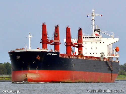
 ESMERALDA
Current Status
Where is the vessel?
ESMERALDA is currently in 18 nm S of Snohvit, based on AIS data received about 1h ago.
Latest AIS update:
Current position: 71.31873° N, 21.37103° E (18 nm S of Snohvit)
Average speed (last 7 days): Loading…
Average speed (last 30 days): Loading…
Vessel profile: ESMERALDA is a Bulk Carrier with dimensions m x m.
This page combines live AIS, route history, probable destination signals, nearby traffic, and port activity for practical vessel monitoring.
The current position of vessel ESMERALDA is 71.31873 lat / 21.37103 lng. Updated: 2026-04-17 00:16:56 UTCNearest reference points:
- Near SORVAR
- 40 nm SW of Snohvit
- Near OKSFJORD
Currently sailing under the flag of Marshall Islands ![]()
Details:
Live Vessel ESMERALDA Analytics (details, animations, etc.)
Recent AIS points (UTC):
2026-04-16 20:12:36 UTC · 70.95905, 18.88345 · SOG 13.1 kn · COG 49°2026-04-16 21:54:25 UTC · 71.11332, 19.90495 · SOG 13.2 kn · COG 66°
2026-04-16 22:21:35 UTC · 71.15345, 20.18403 · SOG 12.8 kn · COG 65°
2026-04-17 00:16:56 UTC · 71.31873, 21.37103 · SOG 13.3 kn · COG 65°