 vesseltracker.com
 PRISMA
Current Status
Where is the vessel?
PRISMA is currently in Near GELENDZHIK, based on AIS data received less than 1h ago.
Latest AIS update:
Current position: 44.61204° N, 37.96281° E (Near GELENDZHIK)
Average speed (last 7 days): Loading…
Average speed (last 30 days): Loading…
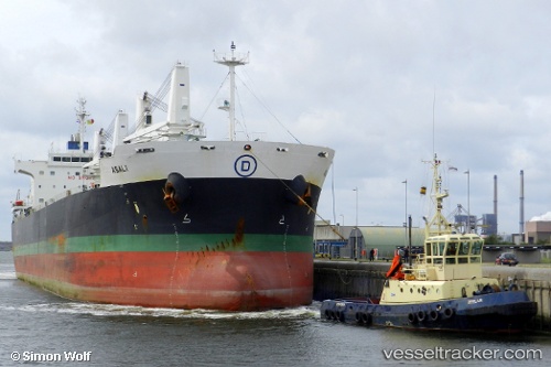
Vessel profile: PRISMA is a Bulk Carrier with dimensions m x m.
This page combines live AIS, route history, probable destination signals, nearby traffic, and port activity for practical vessel monitoring.
The current position of vessel PRISMA is 44.61204 lat / 37.96281 lng. Updated: 2026-04-20 03:29:23 UTCNearest reference points:
- Near GELENDZHIK
- Near Novorossiysk
- 11 nm SE of GELENDZHIK
Currently sailing under the flag of Marshall Islands ![]()
Details:
Live Vessel PRISMA Analytics (details, animations, etc.)
Recent AIS points (UTC):
2026-04-19 23:59:03 UTC · 44.51192, 38.02294 · SOG 9.7 kn · COG 310°2026-04-20 00:35:04 UTC · 44.61595, 37.82960 · SOG 13.7 kn · COG 313°
2026-04-20 01:33:04 UTC · 44.72942, 37.61364 · SOG 6.1 kn · COG 294°
2026-04-20 03:29:23 UTC · 44.61204, 37.96281 · SOG 12.6 kn · COG 285°