 vesseltracker.com
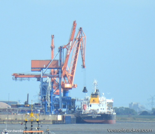
 CETUS TIGER
Current Status
Where is the vessel?
CETUS TIGER is currently in 271 nm W of Punta Baja, based on AIS data received about 1h ago.
Latest AIS update:
Current position: 28.69673° N, 120.79044° W (271 nm W of Punta Baja)
Average speed (last 7 days): Loading…
Average speed (last 30 days): Loading…
Vessel profile: CETUS TIGER is a Bulk Carrier with dimensions m x m.
This page combines live AIS, route history, probable destination signals, nearby traffic, and port activity for practical vessel monitoring.
The current position of vessel CETUS TIGER is 28.69673 lat / -120.79044 lng. Updated: 2026-04-06 01:35:21 UTCNearest reference points:
- Open sea, approx. 408 nm off the nearest listed port
- Open sea, approx. 405 nm off the nearest listed port
- Open sea, approx. 422 nm off the nearest listed port
Currently sailing under the flag of Marshall Islands ![]()
Details:
Live Vessel CETUS TIGER Analytics (details, animations, etc.)
Recent AIS points (UTC):
2026-04-05 20:18:30 UTC · 29.19885, -121.73239 · SOG 10.8 kn · COG 119°2026-04-05 21:42:39 UTC · 29.07426, -121.48209 · SOG 10.9 kn · COG 123°
2026-04-05 23:38:29 UTC · 28.88757, -121.14019 · SOG 11.1 kn · COG 122°
2026-04-06 01:35:21 UTC · 28.69673, -120.79044 · SOG 11.1 kn · COG 115°