 vesseltracker.com
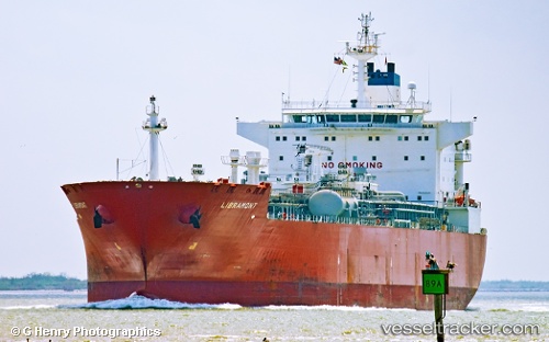
 LIBRAMONT
Current Status
Where is the vessel?
LIBRAMONT is currently in 24 nm SW of Jorf Lasfar, based on AIS data received about 1h ago.
Latest AIS update:
Current position: 32.89674° N, 8.99659° W (24 nm SW of Jorf Lasfar)
Average speed (last 7 days): Loading…
Average speed (last 30 days): Loading…
Vessel profile: LIBRAMONT is a Lpg Tanker with dimensions m x m.
This page combines live AIS, route history, probable destination signals, nearby traffic, and port activity for practical vessel monitoring.
The current position of vessel LIBRAMONT is 32.89674 lat / -8.99659 lng. Updated: 2026-04-12 21:34:48 UTCNearest reference points:
- Near Jorf Lasfar
- 21 nm NW of El Jadida
- 52 nm NW of Safi
Currently sailing under the flag of Marshall Islands ![]()
Details:
Live Vessel LIBRAMONT Analytics (details, animations, etc.)
Recent AIS points (UTC):
2026-04-12 16:05:57 UTC · 33.05638, -8.99934 · SOG 1.6 kn · COG 311°2026-04-12 18:19:57 UTC · 33.09931, -8.97730 · SOG 2.1 kn · COG 4°
2026-04-12 19:53:39 UTC · 33.05434, -8.97877 · SOG 5.4 kn · COG 181°
2026-04-12 21:34:48 UTC · 32.89674, -8.99659 · SOG 5.8 kn · COG 218°