 vesseltracker.com
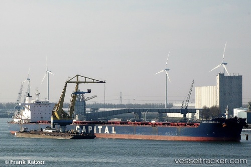
 NICHOLAS G.S
Current Status
Where is the vessel?
NICHOLAS G.S is currently in 373 nm E of Windermere, based on AIS data received less than 1h ago.
Latest AIS update:
Current position: 34.57003° S, 11.04546° W (373 nm E of Windermere)
Average speed (last 7 days): Loading…
Average speed (last 30 days): Loading…
Vessel profile: NICHOLAS G.S is a Bulk Carrier with dimensions m x m.
This page combines live AIS, route history, probable destination signals, nearby traffic, and port activity for practical vessel monitoring.
The current position of vessel NICHOLAS G.S is -34.57003 lat / -11.04546 lng. Updated: 2026-04-19 16:16:15 UTCNearest reference points:
- Open sea, approx. 401 nm off the nearest listed port
- Open sea, approx. 403 nm off the nearest listed port
- Open sea (no nearby ports in database)
Currently sailing under the flag of Marshall Islands ![]()
Details:
Live Vessel NICHOLAS G.S Analytics (details, animations, etc.)
Recent AIS points (UTC):
2026-04-19 13:39:55 UTC · -34.50311, -11.53438 · SOG 9.6 kn · COG 102°2026-04-19 14:16:54 UTC · -34.52037, -11.41612 · SOG 9.7 kn · COG 98°
2026-04-19 16:00:14 UTC · -34.56120, -11.09498 · SOG 9.4 kn · COG 100°
2026-04-19 16:16:15 UTC · -34.57003, -11.04546 · SOG 9.4 kn · COG 100°