 vesseltracker.com
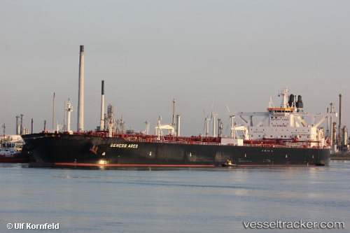
 FRONT TAY
Current Status
Where is the vessel?
FRONT TAY is currently in 37 nm SW of Cape Of Good Hope, based on AIS data received about 1h ago.
Latest AIS update:
Current position: 34.62718° S, 17.70936° E (37 nm SW of Cape Of Good Hope)
Average speed (last 7 days): Loading…
Average speed (last 30 days): Loading…
Vessel profile: FRONT TAY is a Tanker with dimensions m x m.
This page combines live AIS, route history, probable destination signals, nearby traffic, and port activity for practical vessel monitoring.
The current position of vessel FRONT TAY is -34.62718 lat / 17.70936 lng. Updated: 2026-04-22 05:38:43 UTCNearest reference points:
- 18 nm SW of Cape Of Good Hope
- Near HOUT BAY
- 12 nm W of ROBBEN ISLAND
Currently sailing under the flag of Marshall Islands ![]()
Details:
Live Vessel FRONT TAY Analytics (details, animations, etc.)
Recent AIS points (UTC):
2026-04-22 02:17:56 UTC · -34.39246, 17.24640 · SOG 8.2 kn · COG 124°2026-04-22 03:21:57 UTC · -34.47163, 17.38628 · SOG 8.3 kn · COG 121°
2026-04-22 04:17:14 UTC · -34.53184, 17.51807 · SOG 8.1 kn · COG 124°
2026-04-22 05:38:43 UTC · -34.62718, 17.70936 · SOG 8.1 kn · COG 131°