 vesseltracker.com
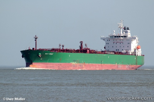
 POSILLIPO
Current Status
Where is the vessel?
POSILLIPO is currently in 110 nm SE of Ehoala, based on AIS data received less than 1h ago.
Latest AIS update:
Current position: 26.48483° S, 48.25258° E (110 nm SE of Ehoala)
Average speed (last 7 days): Loading…
Average speed (last 30 days): Loading…
Vessel profile: POSILLIPO is a Crude Oil Tanker with dimensions m x m.
This page combines live AIS, route history, probable destination signals, nearby traffic, and port activity for practical vessel monitoring.
The current position of vessel POSILLIPO is -26.48483 lat / 48.25258 lng. Updated: 2026-04-21 19:52:45 UTCNearest reference points:
- 174 nm S of Ambovombe
Currently sailing under the flag of Marshall Islands ![]()
Details:
Live Vessel POSILLIPO Analytics (details, animations, etc.)
Recent AIS points (UTC):
2026-04-21 16:37:34 UTC · -26.86681, 47.61060 · SOG 12.5 kn · COG 57°2026-04-21 17:20:05 UTC · -26.78110, 47.74635 · SOG 12.7 kn · COG 58°
2026-04-21 19:51:36 UTC · -26.48705, 48.24880 · SOG 12.7 kn · COG 64°
2026-04-21 19:52:45 UTC · -26.48483, 48.25258 · SOG 12.6 kn · COG 64°