 vesseltracker.com
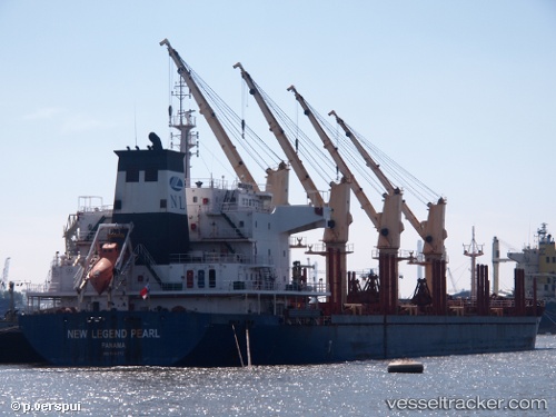
 SIGMA PEARL
Current Status
Where is the vessel?
SIGMA PEARL is currently in 27 nm NW of Puerto Cumarebo, based on AIS data received less than 1h ago.
Latest AIS update:
Current position: 11.87563° N, 69.58981° W (27 nm NW of Puerto Cumarebo)
Average speed (last 7 days): Loading…
Average speed (last 30 days): Loading…
Vessel profile: SIGMA PEARL is a Bulk Carrier with dimensions m x m.
This page combines live AIS, route history, probable destination signals, nearby traffic, and port activity for practical vessel monitoring.
The current position of vessel SIGMA PEARL is 11.87563 lat / -69.58981 lng. Updated: 2026-04-20 19:15:52 UTCNearest reference points:
- Near Bullenbaai
- Near Las Piedras
- 24 nm NW of Palm Beach
Currently sailing under the flag of Marshall Islands ![]()
Details:
Live Vessel SIGMA PEARL Analytics (details, animations, etc.)
Recent AIS points (UTC):
2026-04-20 15:45:52 UTC · 11.92993, -69.53374 · SOG 1 kn · COG 196°2026-04-20 16:45:55 UTC · 11.91974, -69.54939 · SOG 1 kn · COG 187°
2026-04-20 17:24:53 UTC · 11.91075, -69.55893 · SOG 1.2 kn · COG 184°
2026-04-20 19:15:52 UTC · 11.87563, -69.58981 · SOG 1.6 kn · COG 175°