 vesseltracker.com
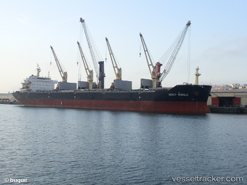
 TULIP
TULIP
Current Status
Where is the vessel?
TULIP is currently in 29 nm SE of Sulina (Port et Zone Franche), based on AIS data received less than 1h ago.
Latest AIS update:
Current position: 44.86035° N, 30.20649° E (29 nm SE of Sulina (Port et Zone Franche))
Average speed (last 7 days): Loading…
Average speed (last 30 days): Loading…
Vessel profile: TULIP is a Cargo with dimensions m x m.
This page combines live AIS, route history, probable destination signals, nearby traffic, and port activity for practical vessel monitoring.
The current position of vessel TULIP is 44.86035 lat / 30.20649 lng. Updated: 2026-04-22 15:57:49 UTCNearest reference points:
- 13 nm E of Sulina (Port et Zone Franche)
- 12 nm SE of Sulina (Port et Zone Franche)
- Near Ust-Dunaisk/Vylkove
Currently sailing under the flag of Marshall Islands ![]()
Details:
Live Vessel TULIP Analytics (details, animations, etc.)
Recent AIS points (UTC):
2026-04-22 12:21:52 UTC · 44.86006, 30.20503 · SOG 0 kn · COG 335°2026-04-22 13:21:50 UTC · 44.85998, 30.20499 · SOG 0 kn · COG 338°
2026-04-22 13:27:50 UTC · 44.86001, 30.20504 · SOG 0 kn · COG 336°
2026-04-22 15:57:49 UTC · 44.86035, 30.20649 · SOG 0.1 kn · COG 321°