 vesseltracker.com
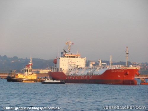
 GAS NOBLE
Current Status
Where is the vessel?
GAS NOBLE is currently in Near Hunsdon, based on AIS data received about 1h ago.
Latest AIS update:
Current position: 51.80251° N, 3.32188° E (Near Hunsdon)
Average speed (last 7 days): Loading…
Average speed (last 30 days): Loading…
Vessel profile: GAS NOBLE is a Tanker with dimensions m x m.
This page combines live AIS, route history, probable destination signals, nearby traffic, and port activity for practical vessel monitoring.
The current position of vessel GAS NOBLE is 51.80251 lat / 3.32188 lng. Updated: 2026-04-12 08:08:19 UTCNearest reference points:
- Near Hunsdon
- 12 nm NE of Hunsdon
- Near Thorntonbank
Currently sailing under the flag of Marshall Islands ![]()
Details:
Live Vessel GAS NOBLE Analytics (details, animations, etc.)
Recent AIS points (UTC):
2026-04-10 05:59:55 UTC · 60.17636, 4.04290 · SOG 6.6 kn · COG 177°2026-04-10 07:25:46 UTC · 60.00672, 4.04217 · SOG 7.1 kn · COG 175°
2026-04-12 07:14:52 UTC · 51.92635, 3.32327 · SOG 10.4 kn · COG 190°
2026-04-12 08:08:19 UTC · 51.80251, 3.32188 · SOG 4.6 kn · COG 219°