 vesseltracker.com
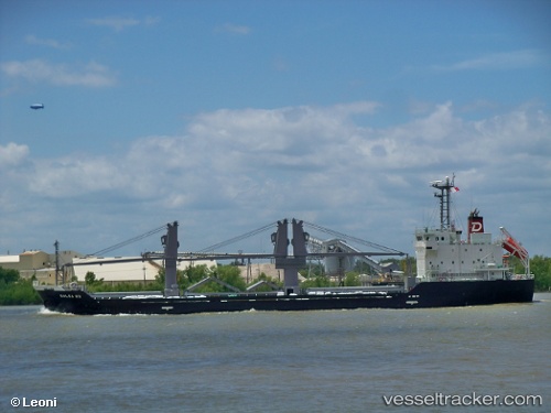
 KLEONIKI
Current Status
Where is the vessel?
KLEONIKI is currently in 31 nm NW of PENICHE, based on AIS data received less than 1h ago.
Latest AIS update:
Current position: 39.70856° N, 9.84621° W (31 nm NW of PENICHE)
Average speed (last 7 days): Loading…
Average speed (last 30 days): Loading…
Vessel profile: KLEONIKI is a General Cargo with dimensions m x m.
This page combines live AIS, route history, probable destination signals, nearby traffic, and port activity for practical vessel monitoring.
The current position of vessel KLEONIKI is 39.70856 lat / -9.84621 lng. Updated: 2026-04-18 20:18:27 UTCNearest reference points:
- Near PENICHE
- Near Nazaré
- 18 nm W of Colares
Currently sailing under the flag of Marshall Islands ![]()
Details:
Live Vessel KLEONIKI Analytics (details, animations, etc.)
Recent AIS points (UTC):
2026-04-18 13:25:26 UTC · 38.57974, -9.81792 · SOG 9.4 kn · COG 350°2026-04-18 15:22:26 UTC · 38.89636, -9.84900 · SOG 9.8 kn · COG 0°
2026-04-18 17:25:56 UTC · 39.23382, -9.84355 · SOG 9.8 kn · COG 358°
2026-04-18 20:18:27 UTC · 39.70856, -9.84621 · SOG 10 kn · COG 358°