 vesseltracker.com
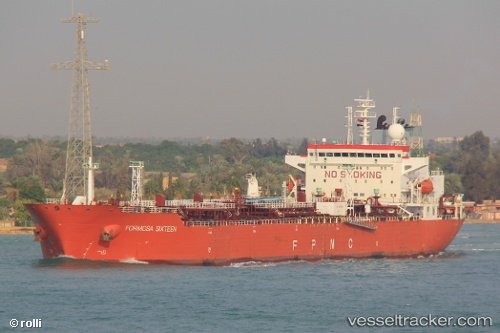
 ST LADY MEENAH
Current Status
Where is the vessel?
ST LADY MEENAH is currently in 18 nm SE of Oregun, based on AIS data received less than 1h ago.
Latest AIS update:
Current position: 6.31886° N, 3.89194° E (18 nm SE of Oregun)
Average speed (last 7 days): Loading…
Average speed (last 30 days): Loading…
Vessel profile: ST LADY MEENAH is a Oil Products Tanker with dimensions m x m.
This page combines live AIS, route history, probable destination signals, nearby traffic, and port activity for practical vessel monitoring.
The current position of vessel ST LADY MEENAH is 6.31886 lat / 3.89194 lng. Updated: 2026-04-12 13:23:54 UTCNearest reference points:
- Near Lagos
- Near Apapa
- Near Kirikiri
Currently sailing under the flag of Marshall Islands ![]()
Details:
Live Vessel ST LADY MEENAH Analytics (details, animations, etc.)
Recent AIS points (UTC):
2026-04-12 08:03:49 UTC · 6.29167, 3.94333 · SOG 0 kn · COG -1°2026-04-12 10:42:51 UTC · 6.29167, 3.94333 · SOG 0 kn · COG -1°
2026-04-12 11:48:53 UTC · 6.29167, 3.94333 · SOG 0 kn · COG -1°
2026-04-12 13:23:54 UTC · 6.31886, 3.89194 · SOG 6 kn · COG 306°